Jump to content


Ashuelot river swanzey


1 reply to this topic

#1 Guest_FirstChAoS_*

Guest_FirstChAoS_*
  • Guests

Posted 07 May 2011 - 09:07 PM

It was finally warm enough (and i seen enough fish in streams) to return to the Asheuelot river in Swanzey where the cold foiled my sampling plans a month before. I have been avidly persuing this spot for a couple reasons. The first is it sort of reminded me of a section of the Schohairie where I got fish in New York, and two, it looked like ideal longnose dace habitat. I heard a damw as removed from this location a couple years before.

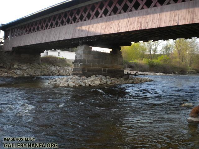
I parked by the bridge and started sampling here, the rocks were slick and green with algea. The slower areas where the river widened felt oddly warmer than the narrow ones. The recent drop in water levels left plents of mussel shells on the shore.

Posted Image

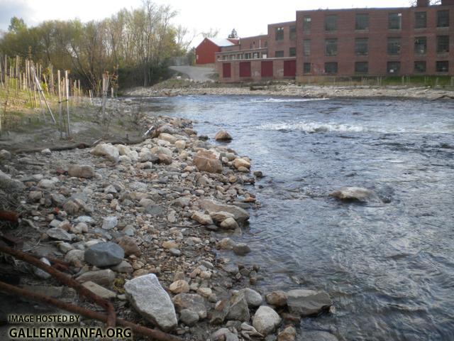
So I worked my way down stream. (yes, it looks like they are planting trees on the shore).

Posted Image

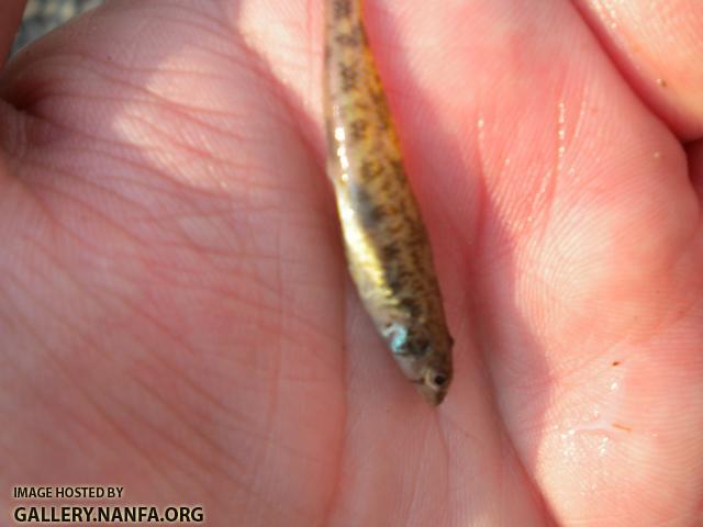
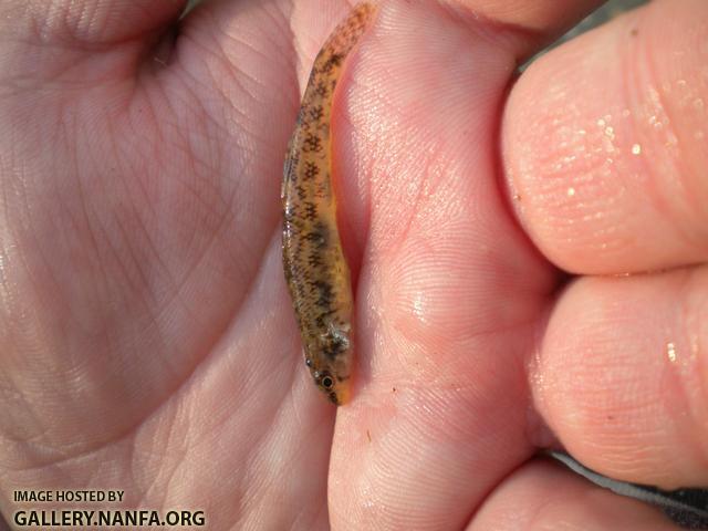
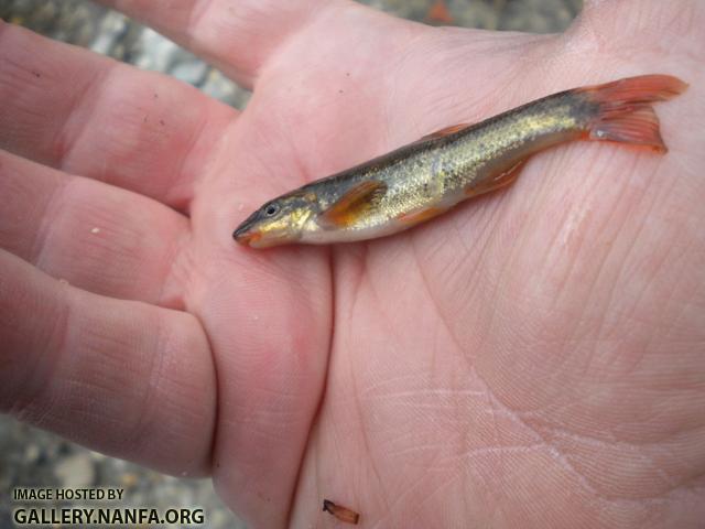
I didn't start getting fish until I crossed the third narrow row of rapids. Then I got two tesselated darters and my goal fish a longnose dace. I wish I brought my gar down with me so I didn't keep having to walk back. This marks the first time I found darters in riffles in new Hampshire. Usually I find them in slower water. I was amazed how blue the tesselated darters were on their cheeks (the bluer darter i didn't photograph). Is that the males breeding color?

(note: both photos are the same darter)

Posted Image

Posted Image

Posted Image

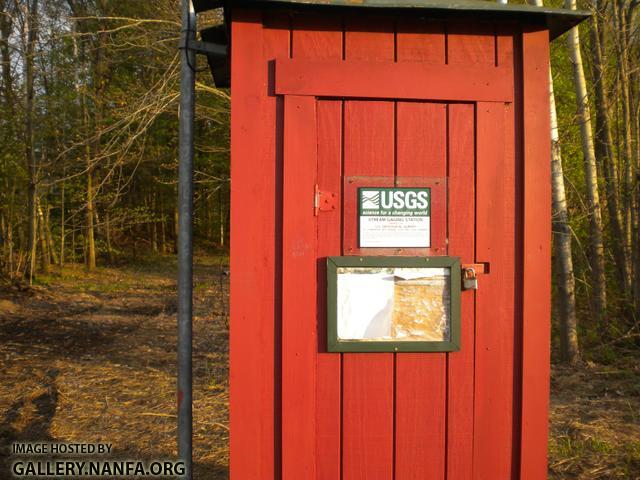
This area had one more oddity in store. No this is not an outhouse though it DOES look like one, it is a USGS stream monitoring station. I have no idea what they are monitoring or why, or what a tiny shed like this could hold.

Posted Image

#2 Guest_fundulus_*

Guest_fundulus_*
  • Guests

Posted 07 May 2011 - 09:23 PM

That USGS shed is part of an expanding program monitoring river height and flow volume in cubic feet per second. You could google something like "Ashuelot usgs height" and you're likely to find a web site that is updated every hour on the half hour. I use the USGS site for the Flint River in 'bama to determine when it's safe (it's true) to go to our field site in the winter and spring when river conditions can change quickly and dramatically.

Your second photo, of the industrial building that used to be water powered, is a shadow of things past in little New England towns with a mill on every fall or riffle.


Reply to this topic


0 user(s) are reading this topic

0 members, 0 guests, 0 anonymous users